EDC Warren County has access to a variety of GIS resources that develop mapping related to Warren County (NY) highlighting national, regional, and local information. Some of these maps (shown below) include Direct Flights, Driving Mileage, Higher Education Institutions, Technology & Research Hubs, Transportation Assets, and Recreation Highlights.
You can also link to three Geographic Information Systems (GIS):
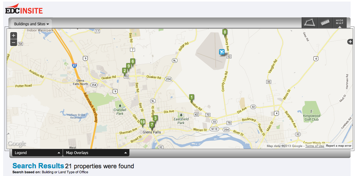
- The Find Properties InSite system on EDC’s website is maintained by EDC Warren County, helps you locate available industrial, retail, and office locations for lease or sale within Warren County, and includes related layers on major employers, airports, hospitals, business parks, and has the ability to deliver customized minute/mileage radius demographic and market information related to each site.
- The Warren County GIS Community Map, maintained by the Warren County Office of Planning & Community Development, includes updated town zoning information, aerial overlay, property boundary and ownership, flood plain, wetlands, soils, topo, recreation facilities, railways, and other useful interactive site layer information.
- The Adirondack Park Land Classification GIS, which depicts Adirondack Park state and private land use zoning classifications and the park boundary. Published in February, 2014, the map layers were produced by the New York State Adirondack Park Agency.
National Maps
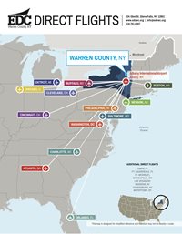
Direct FlightsFlight information regarding non-stop flights from Albany, New York, to U.S. destinations. Albany is 45 minutes south of Glens Falls (Warren County). |
 |
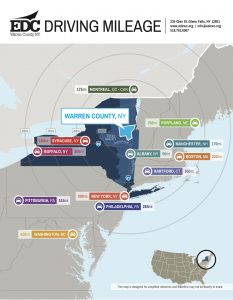
Driving MileageWarren County lies in between several of the major cities in northeastern North America: New York City to the south, Boston to the east, Montreal to the north, and Syracuse, Rochester, and Buffalo to the west. Interstates I-87 and I-90 provide easy connectivity to many cities on the East Coast. |
 |
Regional Maps
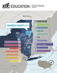
Higher Education InstitutionsWarren County is located on the northern rim of the Capital Region of New York, which has many colleges and universities, as well as strong vocational/trade programs. See 17 of those institutions closest to Warren County on this map. |
 |
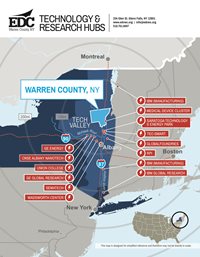
Technology & Research HubsWarren County is part of New York’s Capital Region, home to many private and public sector technology and research operations. |
 |
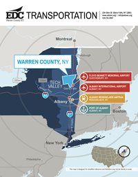
Transportation AssetsWarren County connects to a well-developed transportation system, including air, rail, port, and interstate highway networks. |
 |
Local Maps
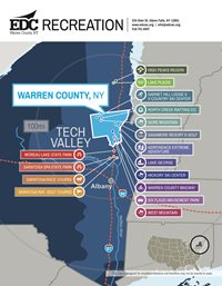
Recreation HighlightsWarren County is a world class destination for outdoor recreation and is the gateway to the Adirondack Park providing access to the southern portion of Lake George. See many of the recreation options in Warren County, and nearby Saratoga County, on this map. |
 |

